Uranium City – in Black & White

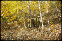
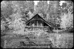
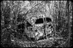
Uranium City. A boom and bust town in northern Saskatchewan. Uranium was mined here during the 1950’s – early 1980’s and sold to the US government, and for use in Canadian designed CANDU nuclear reactors. Since the mine closed most of what was a busy town is now abandoned, smashed or salvaged. Empty streets, abandoned vehicles, collapsed buildings these have the become the image of Uranium City. 

Note: The pictures were converted to black & white, as this suits the ghost-like and historical feel of Uranium City. 


“Downtown” Uranium City

A former booming mining town (1950’s – 1982) with an active and busy downtown.  With the announcement of the closure of the mine and mill in 1981, the economy collapsed. Businesses closed their doors, and the residents left.   The story goes- ‘If you leave your keys (to the company house) then you get a free flight out of town’.  Whether or not this is true – many residents left with minimal luggage, leaving behind their furniture, clothes, extra sporting equipment, even their vehicles.  Some residents actually thought they would return, leaving their house keys with those that remained. Supposedly, there is a wall of keys, but I didn’t see it.  
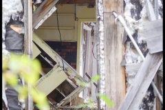
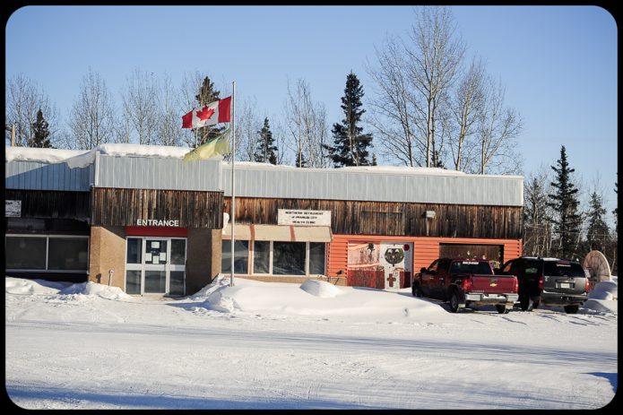
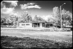
In 1983 Uranium City lost its status as a town and became an unincorporated “northern settlement “. At some point, the decision was made to abandon municipal services to the outlying parts of town, and all properties were reverted to the hamlet.  All property, including structures and personal property from the previous occupants became ‘fare game’ to the remaining residents.  During the past 42 years since the mine closed, almost everything of interest or value has been salvaged for re-use, or simply destroyed. The CANDU High school was closed in 1983. The roof has collapsed and everything inside and out has been literally trashed. In 2003 the hospital closed and was demolished.  The former RCMP building converted into – Post Office, Municipal building and Health Clinic. There is a boil water advisory (and has been for a long time), a drinking water bottling station is currently being set up. 

Former RCMP, now Uranium City Post Office, Administration and Health Clinic.


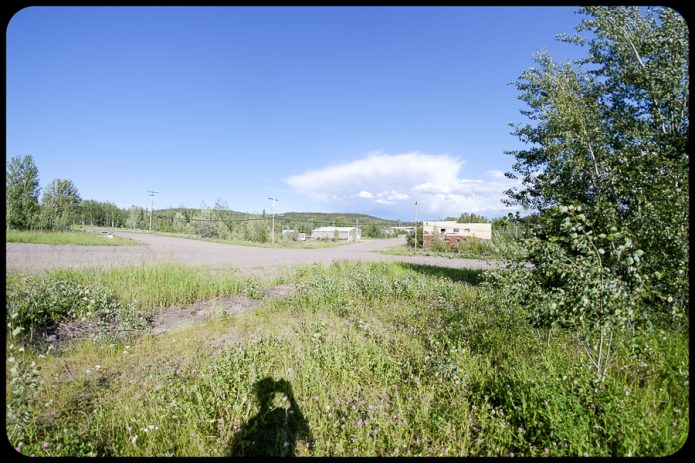
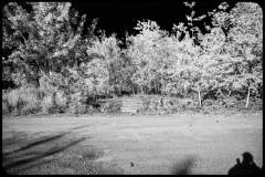
“Downtown” Uranium City.  Streets were at one time paved (using mine tailing) are now mostly dirt, and remnants of sidewalks are occasionally visible through the shrubs and bushes. There are no street signs to mark the at-the-time aptly named streets;  ‘Fission Avenue’, ‘Nuclear Avenue’, ‘Uranium Road’, and ‘Edorado Street’.   These streets are now bordered by empty lots, concrete foundations, concrete steps leading to a non-existant doorways, or a boarded-up and dilapidated building. Most of the boarded-up buildings in the ‘downtown’ area are privately owned, though they are not likely to be repaired, or re-used. 

Foundation and stairs leading to a non-existant doorway.


Maps of Uranium City properties and streets.  Most of the properties shown on map at left are abandoned. ‘Downtown’ Uranium City and the area still connected to municipal services are shown on the map on the right.  However, the vast majority of the properties are empty. 


There is one gas station and store – Parkes General Store, selling groceries, clothing, tools and souvenirs.   There isn’t much tourism. Most visitors to Uranium City are geologists working on nearby mineral claims, and crews conducting maintenance on the power lines that line Uranium City to the power station near Camsell Portage. There are however another group of visitors – those that come to see and photograph the “ghost town”, the entire suburbs of abandoned houses, the school and the collection of signs removed from building that were scheduled to be town town.   


Signs that once hung on (now destroyed) buildings in Uranium City.


Sign for Uranium City Hotel (long gone).


Former Legion Hall

Former Hardware store


Liquor store, then grocery store – now abandoned.


Gallery of assorted structures in Uranium City

Aerial view. Uranium City lies within the area of the deciduous trees. ‘Downtown’ is in the distance.


Uranium City Houses

Pictures of Uranium City on social media only include houses in the abandoned part of town; houses that have collapsed or have been stripped of usable materials – the empty hulks of a formerly lively house. I also photographed these houses, it is an unusual sight and photographically interesting.

But – what houses do the 70 habitants of Uranium City live in ?. These photos are a cross section of those houses, some resemble those in a typical Canadian town; vegetable gardens, potted flowers, trimmed grass, neatly stacked firewood, motor boats and trailers in the driveway. 


CANDU High School in Uranium City, Saskatchewan

Grad 1981. They were the last graduates of the CANDU High School, in Uranium City. The CANDU high school, open in 1979 and named the “best equipped high school “ in Northern Canada. On December 3rd, 1981 Eldorado Nuclear announced it would close the 30-year old mine and mill on June 30, 1982. Businesses closed and the population left. From a pre-closure population of 2,507 in 1981 to less than 800 in 1983. The CANDU school was closed and abandoned in 1983 with less than one-tenth of the students remaining. In 1982 the grade 10 class created a booklet The history of Uranium City and District – “With the closing of the last operating mine in the area Uranium City faced the imminent danger of becoming a ghost town “. The term “ghost town “ is still being used to describe Uranium City. 


Steve Schwarz Photography | Uranium City treasure

Uranium City treasure

Uranium City treasure. Door from a Eldorado Mining and Refining Limited (EM&R) truck. Due to the importance of Uranium during World War 2, the Canadian Government nationalized Eldorado to supply the United States military with uranium products. This truck probably worked at the Beaverlodge Mine (Eldorado Mine) uranium mine in the community of Eldorado, approximately 7 kilometres (4.3 mi) east of Uranium City, Saskatchewan. Beaverlodge Mine opened in 1953 and closed in 1982. Any know the make and model year of this truck?.


Wing Wednesday in Uranium City – Harvard Trainer (Airplane)

For enthusiasts of RCAF aviation. We found these horizontal stabilizers from a RCAF Harvard training aircraft in a storage yard surrounded by vehicles from the 1950’s and 1960’s. They have been sawed off at some point for an unknown reason. By the dataplate, they were built by Canadian Car & Foundry in Fort William, Ontario (now Thunder Bay) and most likely fitted to a postwar Harvard Mk 4. Any thoughts as to why this part would be in Uranium City, Saskatchewan ?.  


Image from https://www.t6harvard.com/canadian-harvards-2/

RCAF / ARC Snowbirds

A couple of pictures of the RCAF / ARC Snowbirds doing their stuff over Yellowknife (July 13, 2024). Photos taken from the roof of my house. Click on the picture of see an enlarged  version.


Instagram post of a plastic model and a watercolour painting of a Snowbird airplane.  (Actually ‘Liked” by Snowbird#6 pilot).


Flight: Inuvik to Ivvavik National Park

Ivvavik National Park is a Canadian National Park located in the northern Yukon Territory.The park was created as part of the Inuvialuit Final Agreement in 1984, between the Government of Canada and  the Inuvialuit, to protect and preserve the calving ground for Porcupine caribou. A small family run gold mining operation operted at Sheep Creek until they were evicted as part of the Inuvialuit Final Agreement.


These photos were taken on June 24, 2021 on a chartered Twin Otter from Inuvik. Click on the picture to make it bigger, and click on the ‘Next’ arrow to view the next photo. More pictures will be posted later. 


Steveschwarzphoto – Instagram Feed

View my Instagram feed here: 

If you have any questions, or comments – drop me a line.